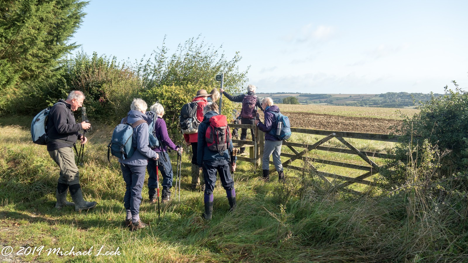
Photos taken on my rece for the walk on 27the November.
My Country Walks
Previously living on the edge of Dartmoor I shared details of my walks on Dartmoor on my previous blog My Dartmoor Walks. As I explore this new area I will share details of the routes here.
Click on any photo to enlarge it.
Sunday 6th October 2019 Sherborne
A cooler sunny day. Starting from Northfield Barn. along the road for a short distance then across the fields to Broadmoor Barn. Then down to New Bridge. North to Lower Marsh Farm and up past Marsh Farm to the Monarch's Way. Back through Clapton-on-the-Hill towards Sherborne. Finally east and back to the start.
7.5 miles and 600 feet of ascent.
Broadmoor Farm
Looking towards New Bridge
New Bridge looking back up
On the Monarch's Way beside the gallops
Fine view over Bourton-on-the-Water
7.5 miles and 600 feet of ascent.
Broadmoor Farm
Looking towards New Bridge
New Bridge looking back up
On the Monarch's Way beside the gallops
Fine view over Bourton-on-the-Water
Wednesday 2nd October 2019 Cotswold Way 6 - Haresfield to Coopers Hill
The 6th leg of the Cotswold Way from Haresfield to Coopers Hill. A cooler sunny day with excellent views. From the car park to the topograph and on to the beacon. Along the path through the woods and up to Edge Common on Rudge Hill for a coffee stop. Then down into the valley before going up to Painswick. Next up to Painswick Beacon where stopped for a while for lunch. On past Cranham Corner to Cooper's Hill where the famous cheese rolling takes place.
9.4 miles and 1600 feet ascent.
Click for previous leg
Click for the next leg
The topograph with fine views to
The severn bridges....
Looking back to Dursley and Cam Long Down
Haresfield Beacon
The Cromwell Stone commemorating the raising of the siege of Gloucester in the Civil War
Edge Common with Painswick in the distance.
The way mark post, we have now passed the half way point on the walk 55 miles to Bath and 47 to Chipping Campden.
Up the Hill to Painswick - Edge Common on the top behind.
St Mary's Church Painswick
On the Painswick Beacon for lunch......
With excellent views to.........
Through the woods again to....
.......Cooper's Hhill
9.4 miles and 1600 feet ascent.
Click for previous leg
Click for the next leg
The topograph with fine views to
The severn bridges....
....Sugar Loaf
Looking back to Dursley and Cam Long Down
Haresfield Beacon
The Cromwell Stone commemorating the raising of the siege of Gloucester in the Civil War
Edge Common with Painswick in the distance.
The way mark post, we have now passed the half way point on the walk 55 miles to Bath and 47 to Chipping Campden.
Up the Hill to Painswick - Edge Common on the top behind.
St Mary's Church Painswick
On the Painswick Beacon for lunch......
With excellent views to.........
.........Bredon Hill
..........May Hill
....Malvern Hills
Through the woods again to....
.......Cooper's Hhill
Subscribe to:
Posts (Atom)